
HIGH-PRECISION AERIAL SOLUTIONS
ENGINEERED FOR ACCURACY.
FLOWN WITH PRECISION.
We combine DGCA-certified flight management, state-of-the-art thermal and optical sensors, and GIS processing to deliver actionable datasets for modern enterprises.
ACCURACY
0.5 cm/px
PERMITS
100% Cleared
OUTPUT
CAD, BIM, GIS
MISSIONS
1000+
INTERACTIVE CAPABILITY HUB
OUR CORE SERVICE DOMAINS
 DEPLOYMENT READY
PLATFORMDJI Mavic 3 Classic (Hasselblad 4/3 CMOS)
TURNAROUND24 - 48 Hours
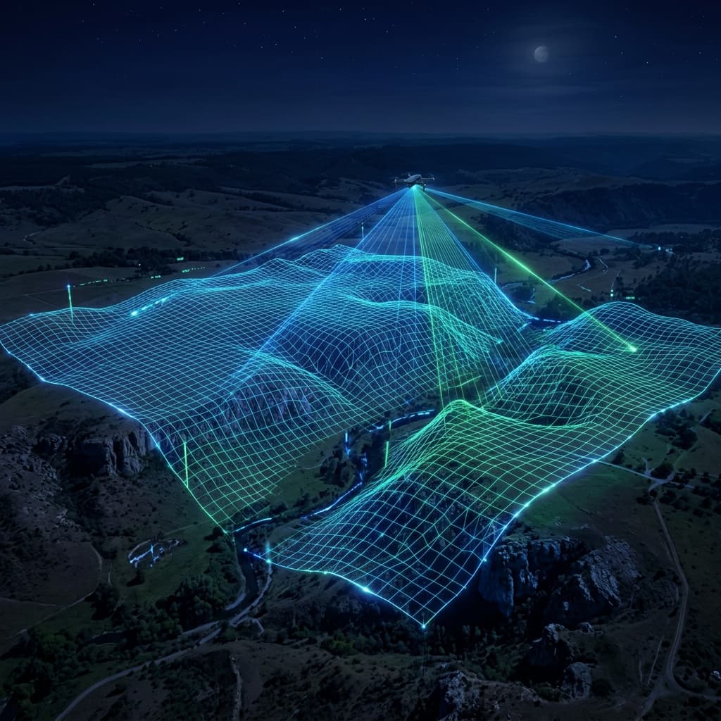
Millimeter-Level Orthomosaics & GIS Datasets
Land Survey & Topographic Mapping
We deploy high-accuracy RTK drones to capture high-density point clouds and georeferenced aerial imagery for land development, infrastructure, and mining.
CLIENT DELIVERABLES
GeoTIFF Orthomosaic Maps
3D Digital Elevation Models (DEM/DSM)
DWG / DXF Contour Files
Stockpile Volume Reports
QUICK MISSION ESTIMATOR
PROJECT SCOPE PREVIEW
Adjust acreage to estimate flight time and data frames.
50 ACRES
FLIGHT TIME~2 HRS
DATA FRAMES~600